
Five Stunning Spring Walks
Heading out for some fresh air this Easter?


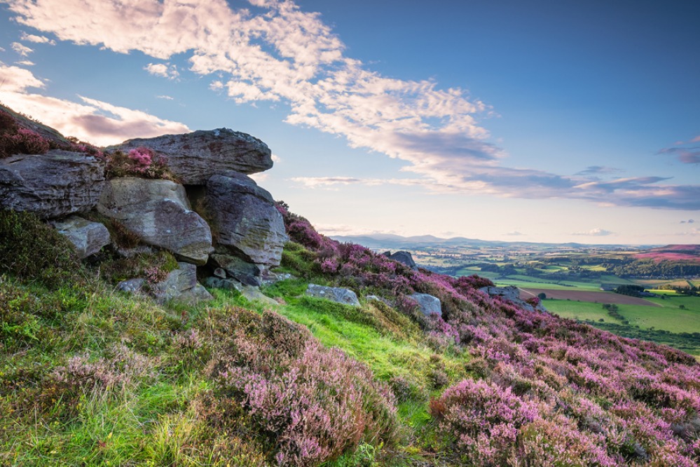
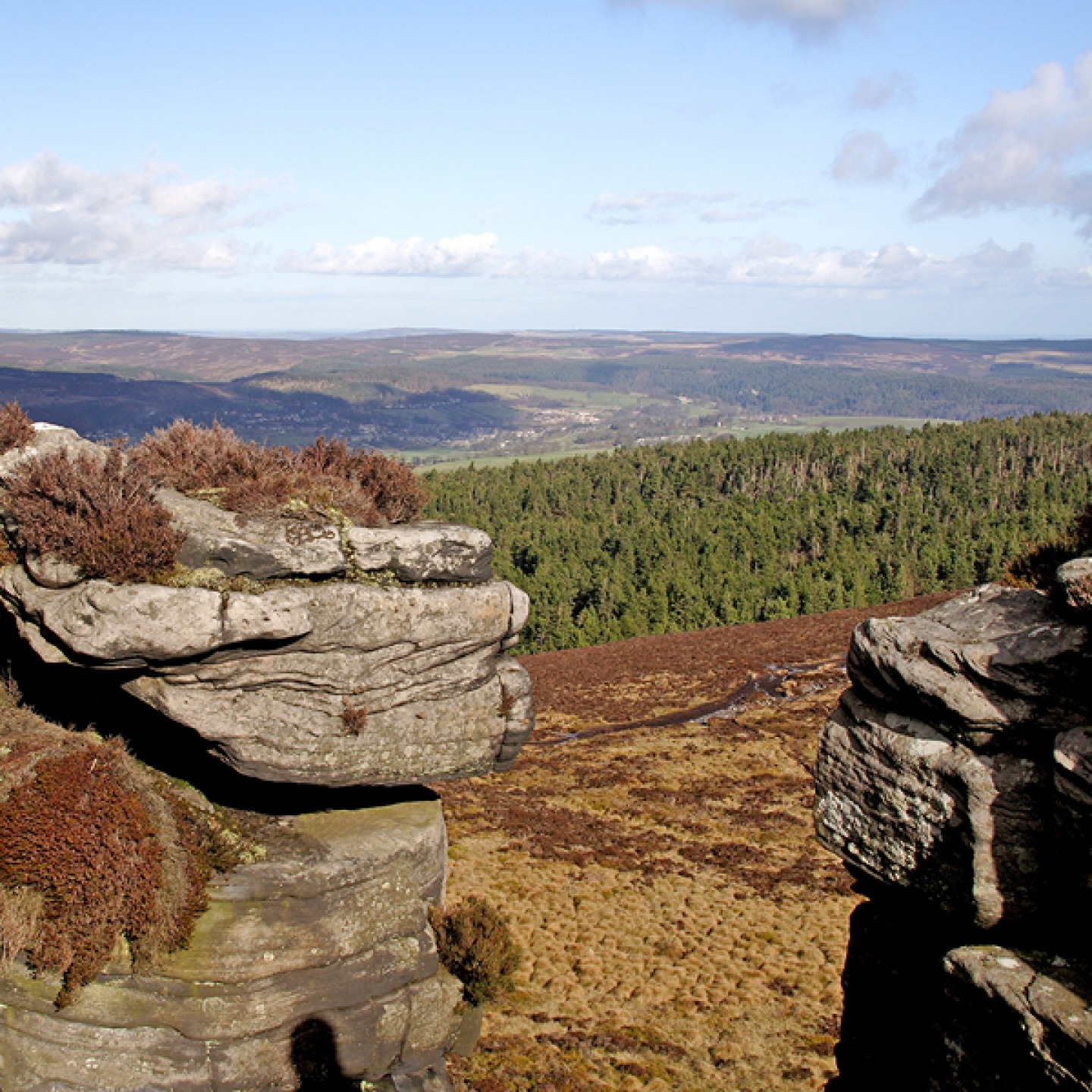
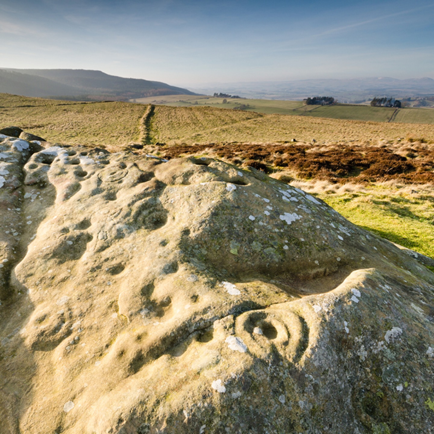
The Simonside Hills
On the northernmost edge of Harwood Forest, within Northumberland National Park, these wild and craggy hills charm ramblers from across the country. For a panoramic view towards the Cheviot Hills and North Sea, follow this circular walk up Simonside.
‘Simundessete’ was recorded in as early as 1279, but had become ‘Simontside’ by 1580. In 1916, W.W. Tomlinson wrote about ‘Simon’s sete or settlement’ in his Comprehensive Guide to Northumberland. Some say the name might come from ‘seaman’s sight’ – because the hills can be seen at sea. Rothbury folklore shrouds the hills in mystery with tales of a mythical ‘deaugar’ (Norse for dwarf). While we’d never recommend heading up such steep hills after dark, this myth reveals why you definitely shouldn’t – the creature supposedly lures people towards bogs or cliffs at night. Some walkers might recognise the hills from Darkwater, an episode of ITV’s Vera.
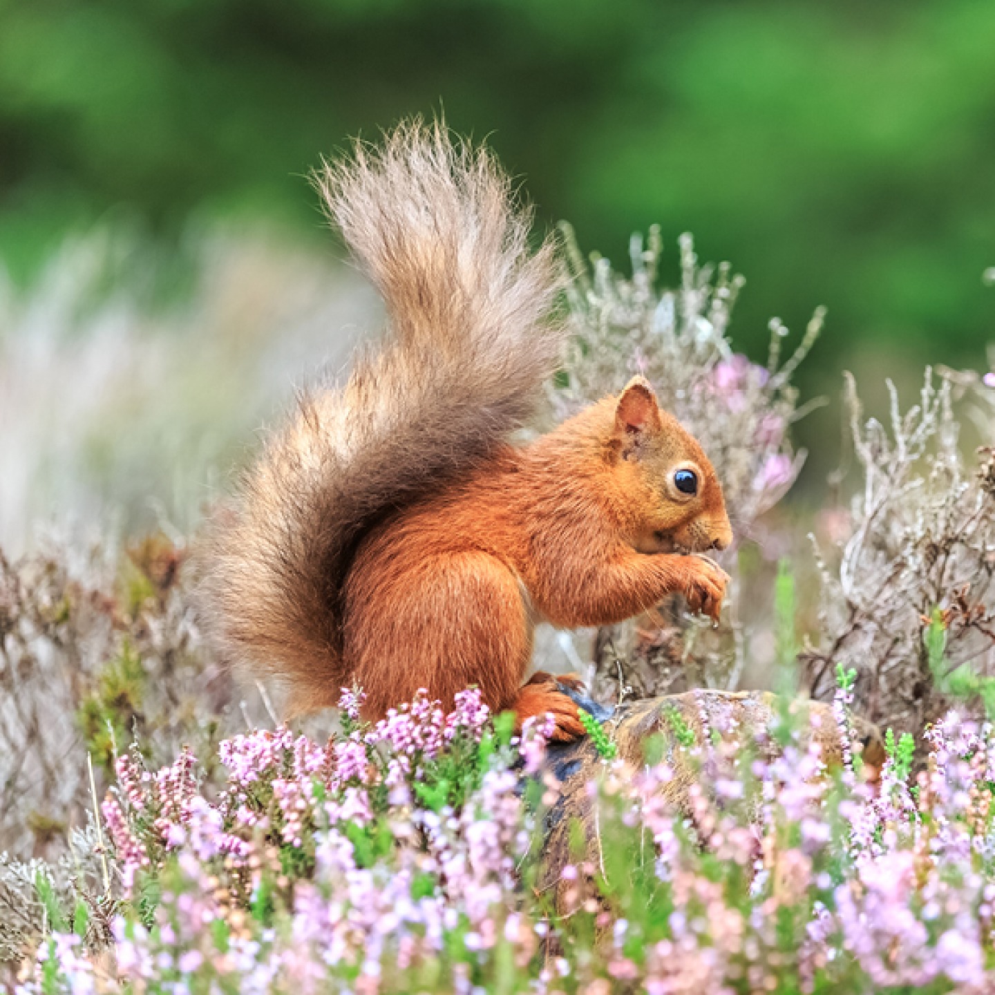
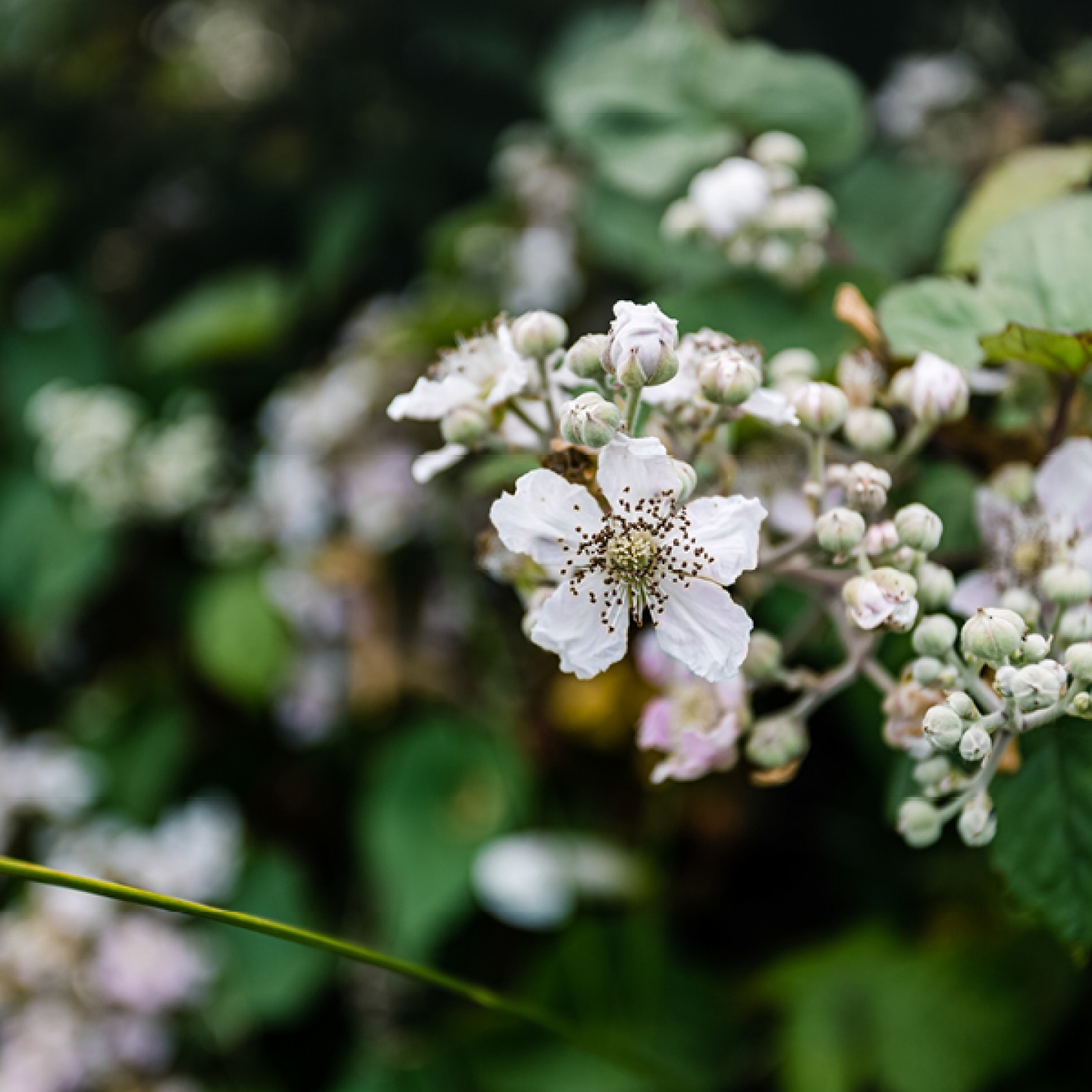
The hills offer the chance to spot wildlife such as curlew, red grouse, mountain bumblebee, emperor moth, and red squirrels. Mountain bikers and horse riders are welcome, as are four-legged friends, but the unsurfaced tracks at the summit are only suitable for walkers. Most of the hills are around 300 to 400 metres high, and the highest point is Tosson Hill (around 440 metres).
Starting from Simonside Forestry Commission Car Park, you’ll follow red waymarkers for this circular walk. Turn left at the wooden shelter onto the forest road and follow it uphill. The waymarker will direct you to the right. Turn right at the next junction and left at the one after, then continue uphill along the forest road. It’s worth taking a short detour at the fenced off area – a grassy path on the left leads to the sandstone formation Little Church Rock (so called because it resembles a little church).
Back to the route, continue along the forest road. Just before you reach the two large boulders, take the footpath to the left. You’ll pass ‘criss cross rock’ (which could be prehistoric rock art or a medieval way to make the track less slippery). Pass through a narrow gully then follow the path on the left at the next junction towards the red gravel forest road. The route will become a little more steep from here. Take the footpath on the left, then at the top of the crags turn left again along the flagged path.
The stone cairn on the left marks the summit of Simonside. Follow the path from here over the moorland, then head down the stone steps of the Old Stell Crag rock outcrop. Follow this path downhill to Dove Crag and onwards leading to the left through the trees before turning left back onto the forest track. Cross the Coe Burn, turn right and follow the road downhill. Take the footpath on your right when the road bears left and the route will lead you back to the car park.


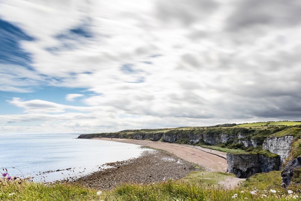
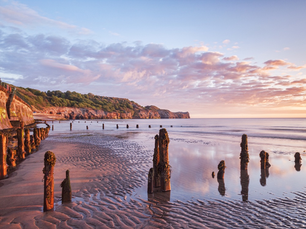
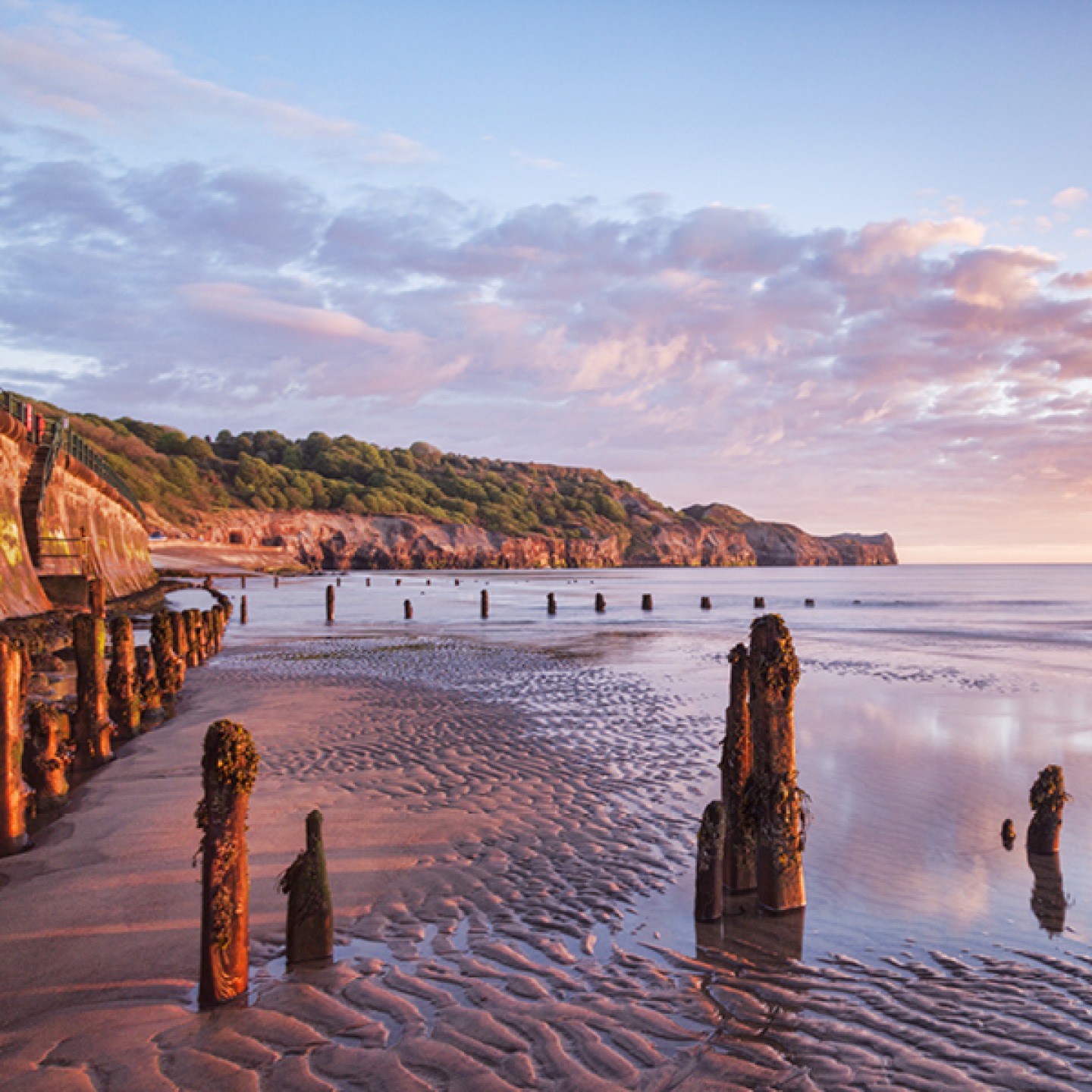
The Durham Coastal Footpath
Head to the stunning Durham coast for this route from Seaham to Crimdon with its clifftop views and unique magnesian limestone coastal grasslands – one of very few places you’ll find limestone cliffs and dolomite.
The region’s rich coal mining industry was dominant in this area, but following the closure of the pits, the area’s restoration into a wildlife haven began. Today the trail is part of England’s longest national trail, The England Coast Path (renamed to the King Charles III England Coast Path to celebrate the King’s Coronation in 2023). The local magnesian limestone with boulder clay now form the foundations for grassland for lots of wildlife, including the iconic and rare Durham Argus butterfly (a species only found in County Durham, and a rarer subspecies of the northern brown argus). Work continues in this area to help wildlife thrive and hectare upon hectare of wildflower meadows have been introduced at Hawthorn Dene and Horden.
Last year more than five miles of new hedgerows were planted close to the Durham Coast to continue benefitting wildlife, plantlife and the climate. The Durham Coast is a Site of Special Scientific Interest – important for its flora and fauna – and it’s hoped that this particular planting will support declining bird species, such as the yellowhammer and song thrushes, as well as butterfly species including the brown hairstreak butterfly, bats and foraging bumblebees.
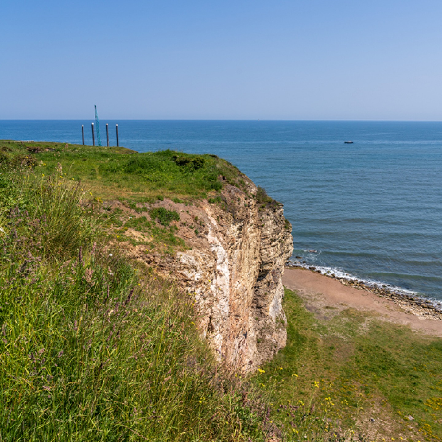
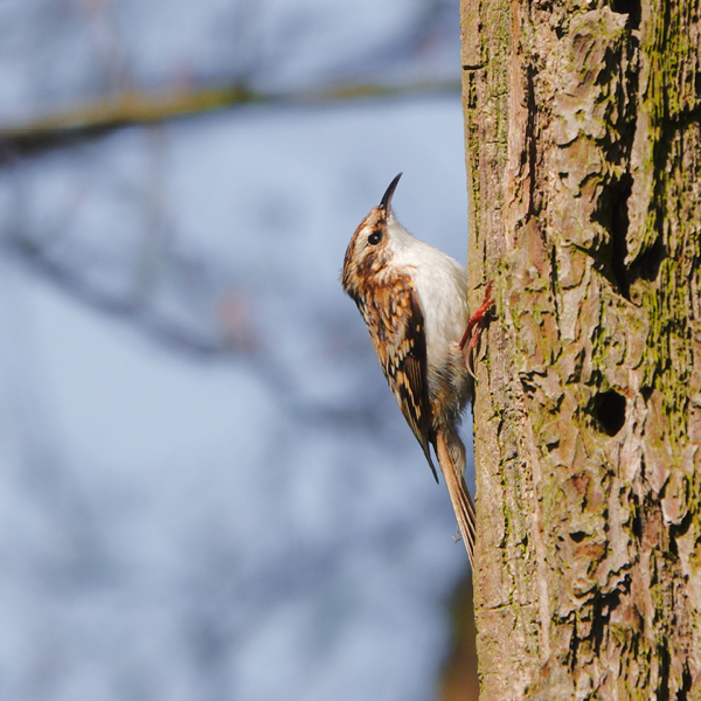
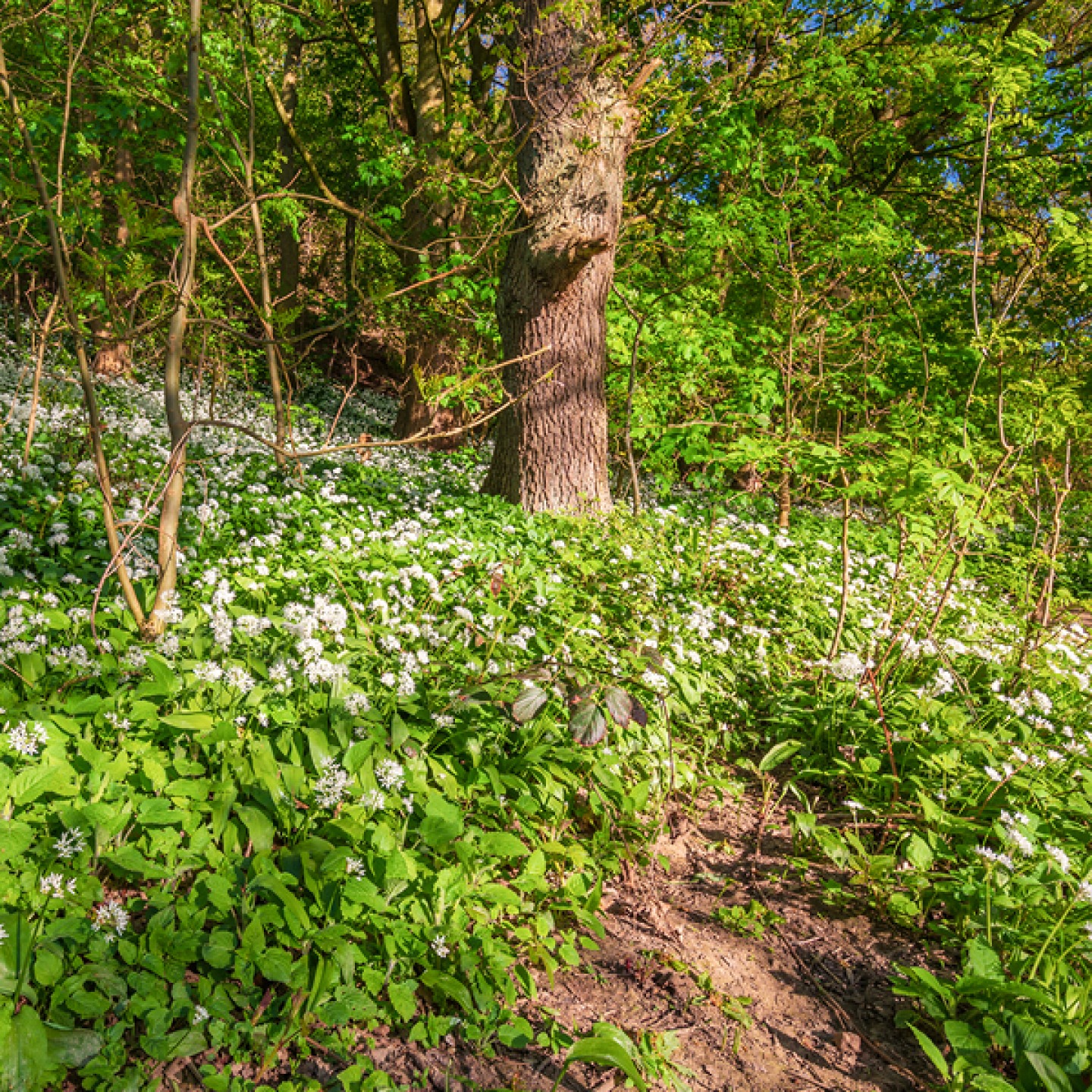
Start the walk at the marina in Seaham (built for the export of coal) and follow the path along the cliffs to Nose’s Point, formerly the site of Dawdon Colliery, and (on a clear day) look out towards Whitby. Head south to the beautiful Hawthorn Dene. It’s worth taking a detour here, at the second largest coastal dene in the county, to explore the woods which are scattered with wild garlic, or take a well-earned break on the usually fairly quiet beach below. The nature reserve here is an area that’s often overlooked but with treecreepers, woodpeckers and roe deer there’s plenty to keep you occupied.
Back en route, continuing along the footpath, you’ll pass Beacon Hill and Easington Colliery (one of the last in Durham to close) and head down into Castle Eden Dene and on to Blackhall (which film fans might recognise from the final scenes of Get Carter). Look out for the smugglers’ caves at Blackhall Rocks, which is also a great place for bird-watching, then keep following the path to the dunes until you reach Crimdon where there’s an impressive Victorian viaduct in the dene.
Roseberry Topping Woodland Wildlife Walk
While locals and visitors alike will head straight up the hill, you don’t have to follow the crowd. There’s plenty to see in the woods surrounding Roseberry Topping.
One of the most distinctive landmarks in the Tees Valley area, the unusual half-cone shaped Roseberry Topping with its rugged cliff (often referred to as the ‘Yorkshire Matterhorn’) was previously thought to be the highest hill on the North York Moors (but Urra Moor would have something to say about that). Roseberry Topping formed from sandstone dating back to the Middle and Lower Jurassic periods. Weathering led to the hill’s sandstone cap protecting the underlying shales and clays from erosion, and therefore its conical shape. In 1912 its west side collapsed, creating the now iconic shape. From the top, following a 320-metre climb, walkers enjoy views of Captain Cook’s Monument across the Cleveland plain and as far as the Pennines on a clear day.
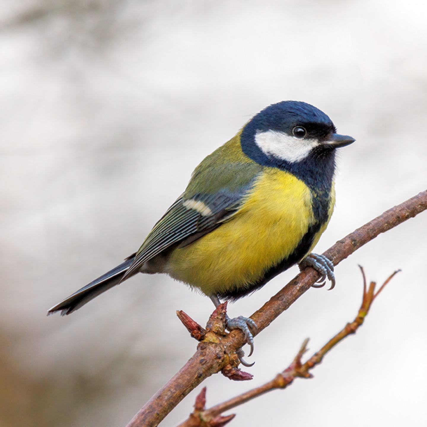
This dog-friendly walk starts from the car park in Newton-under-Roseberry. Turn right and follow the track then go up the steps, through the kissing gate and into Newton Wood. Follow the path on your right then stay right when the path forks. There are bird boxes dotted throughout the wood and spring is the perfect time to spot blue tits and great tits who collect thousands of caterpillars for their chicks.
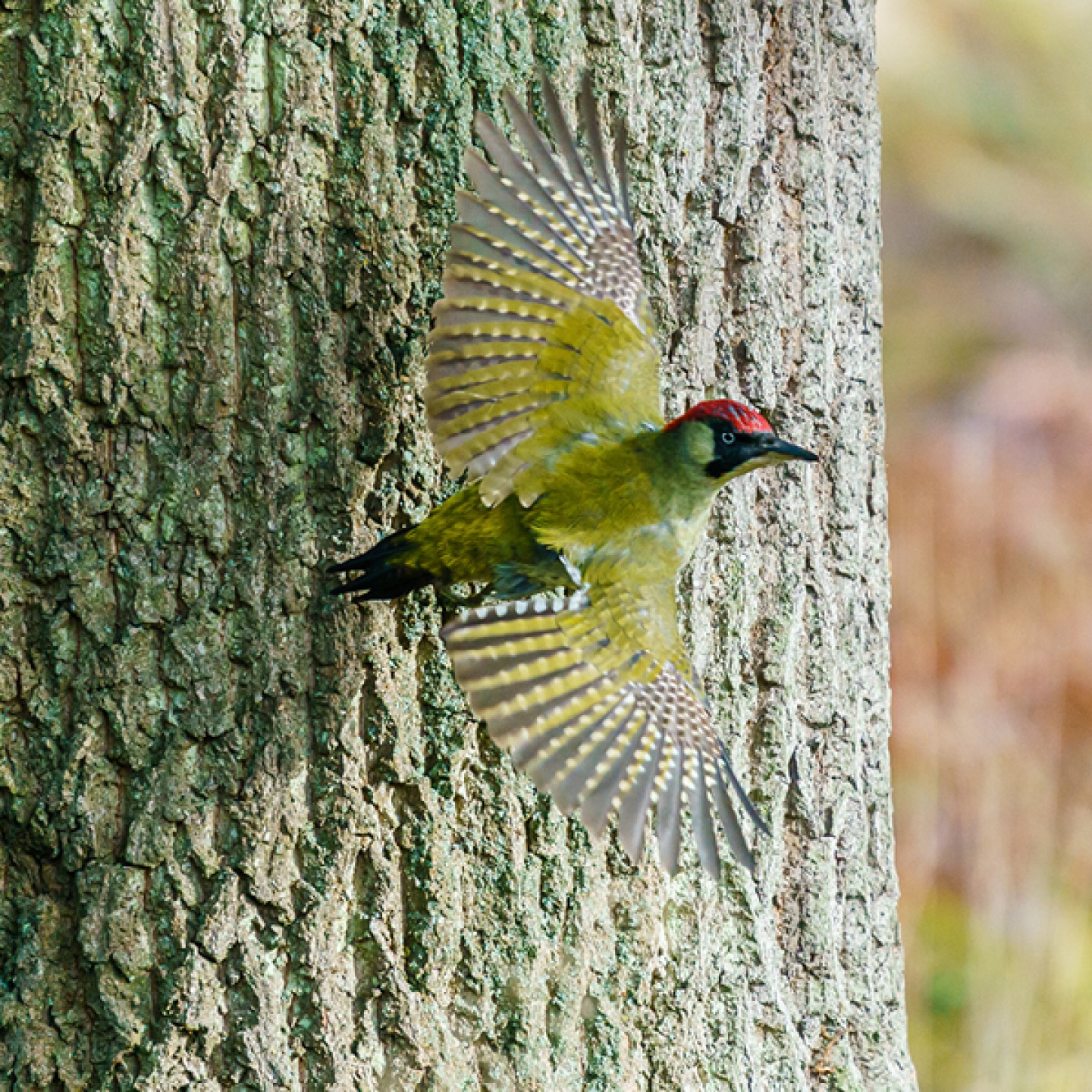
Follow the path out of the wood looking out for a variety of plantlife, from lesser celandine to wild garlic on the woodland floor. At the National Trust sign, take the left-hand fork and continue into Cliff Ridge Wood, keeping right at the fork. Listen out for the distinctive call of the green woodpecker (it sounds like hoarse laughter). At the metal gate and sign, turn left and head uphill, then cross the stile and turn left out of the wood. At the next stile, head into the wood and turn right then go through the kissing gate heading towards a cottage. Go left and continue until you reach a gate back into the wood. Through the kissing gate stop and take a photo at the metal picture frame by artist Ashley Jackson. Turn right and right again at the end of the path to the top of the wood.
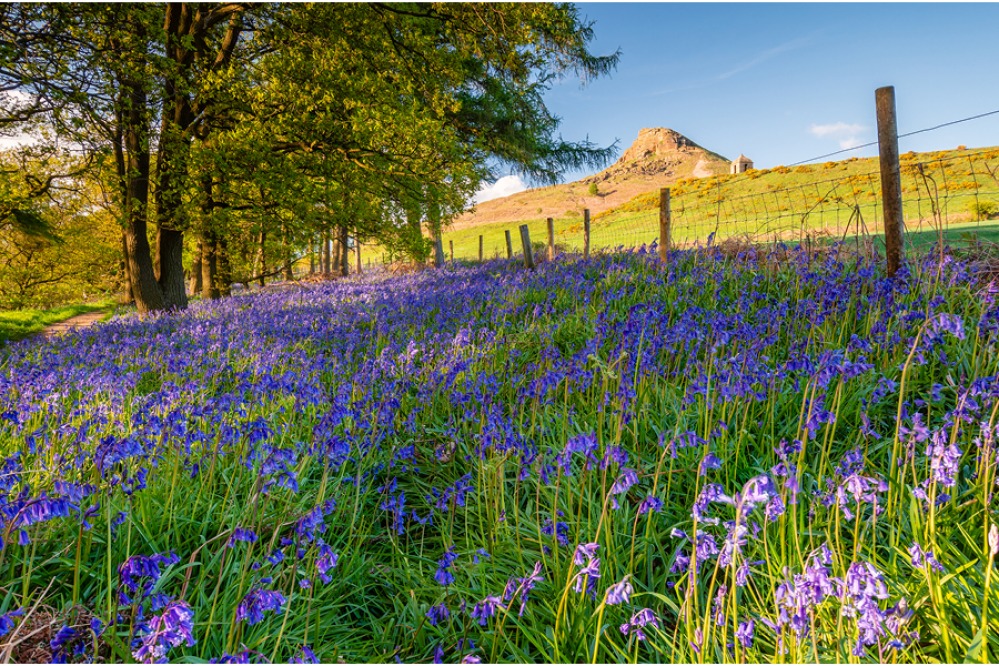
Climb the log steps and head left onto the path – this is the best place to see the famous bluebells! From here you can rejoin the bottom path and head back to the car park.
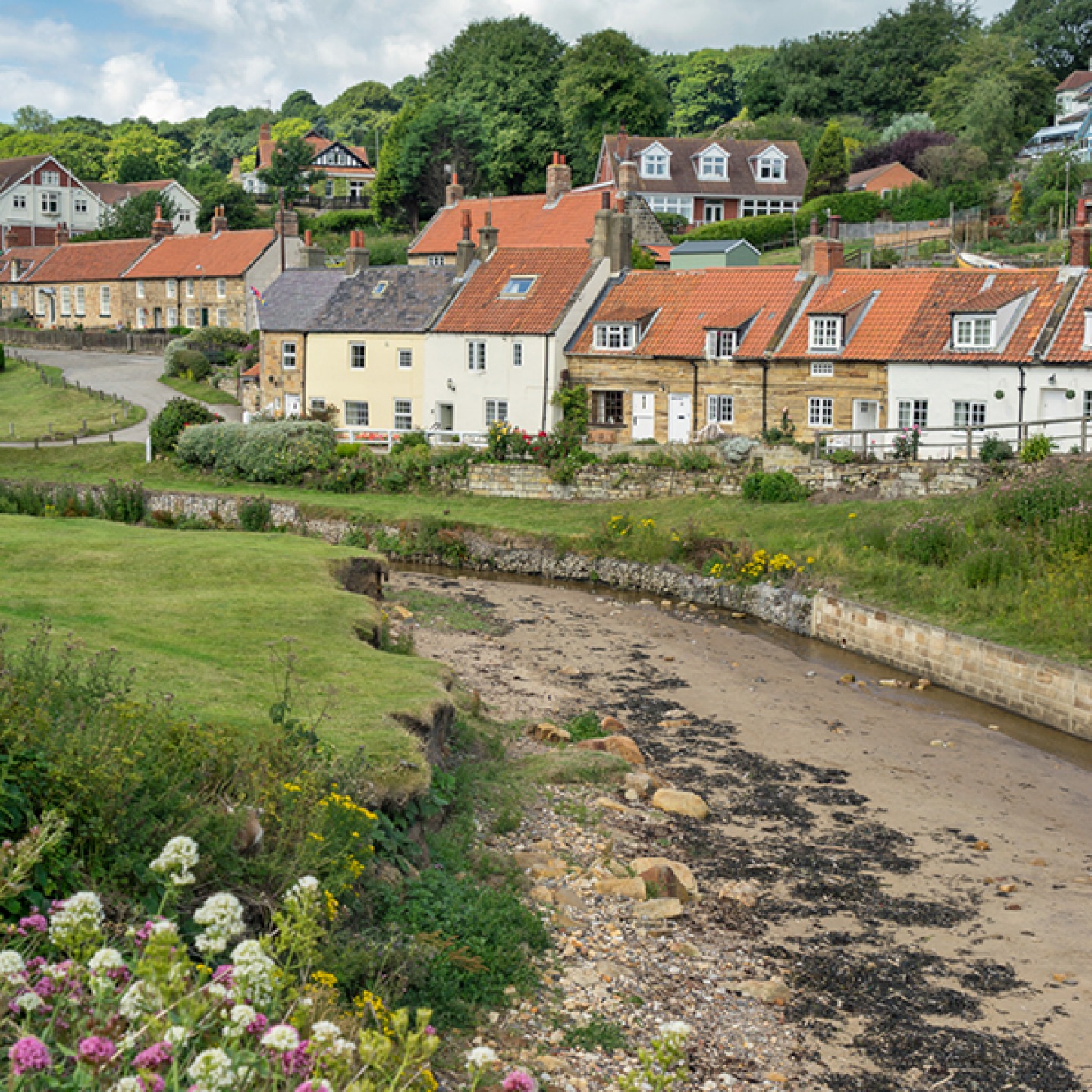
Whitby to Sandsend
Yorkshire is home to so many bustling seaside towns and pretty fishing villages and these are just two of our favourites. A walk from busy Whitby to peaceful Sandsend (or in reverse) promises fabulous sea views all the way
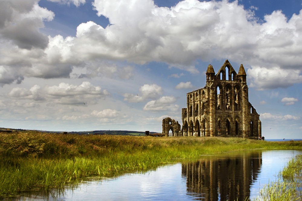
Whitby is well known for the Gothic ruins of its abbey which inspired Bram Stoker’s Dracula, the whalebone arch which perfectly frames it, and Whitby jet (available to buy in the form of jewellery if you can’t find your own on the beach). To the north, the tiny village of Sandsend has a wide, sandy beach and streets dotted with cottages, cute beachside cafés, a pub and popular restaurant.
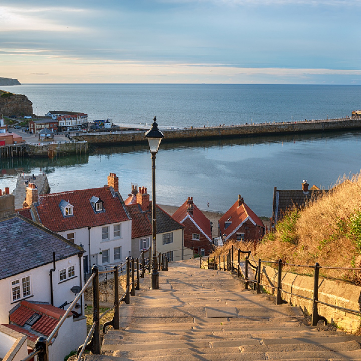
While the iconic Captain Cook Memorial statue on Whitby’s West Cliff is a good starting point, we recommend setting off from Whitby Abbey. Whether you’re a history buff or not, the panoramic views from the cliff top are worth the climb. Heading down from St Mary’s Churchyard, down the famous 199 steps, you’ll drop onto The Cleveland Way. At the bottom of the steps, cross the swing bridge onto Pier Road, and pass the iconic Magpie Café. We won’t blame you if you want to stop off for their award-winning fish and chips to fuel the rest of your walk.
Follow the path along the promenade, past the theatre and the brightly coloured beach huts towards the golf club and the small, dog-friendly Upgang Beach. Continue along this sandy stretch to Sandsend where you can hunt for fossils, search rock pools and reward yourself with a lunch with a sea view in one of the cafés here.
If you want to explore further before heading back to Whitby, why not explore Mulgrave Woods? This sheltered woodland is home to beautiful walking trails or if you continue along The Cleveland Way, you’ll reach another Yorkshire seaside gem in Runswick Bay. It’s up to you whether you want to head back to Whitby along the clifftops or via the beach (but check the tide times), or there is a regular bus service running between Runswick Bay, Sandsend and Whitby if you’d rather catch a lift.
Sign Up To Our Newsletter

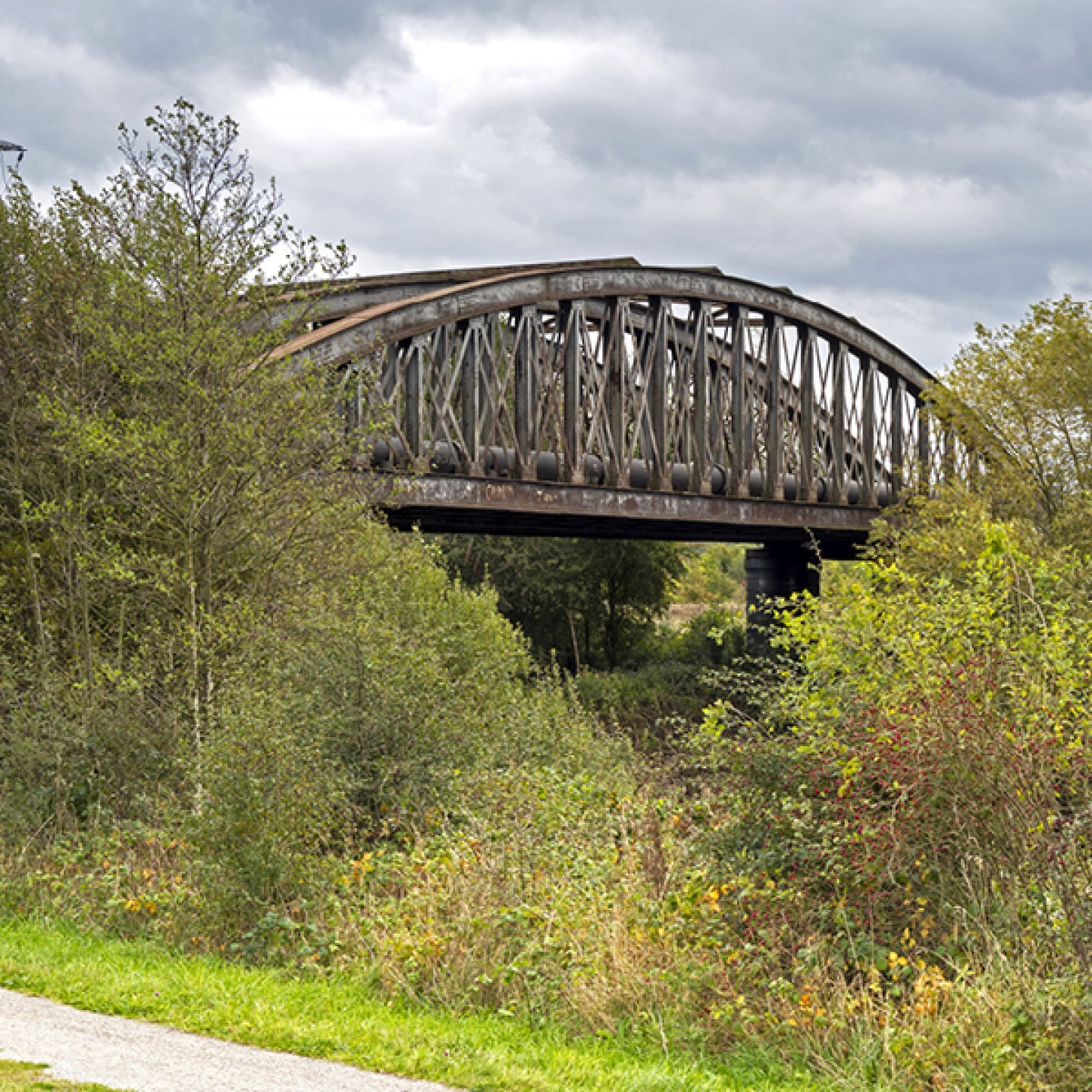
Castleford Canal Walk
Discover 900 years of history on this easy walk along the Aire & Calder Navigation at Castleford, and look out for a variety of birds
Since 1625, Yorkshire entrepreneurs had sought to improve navigation on the natural rivers Aire and Calder. After getting the Act of Parliament in 1699, short canals were cut to bypass particularly narrow or tortuous stretches. Improvements continued, with the Knottingley and Goole Canal opening in 1826, but the most recent was an entirely new section near Castleford, constructed in the 1980s after a spectacular breach.
Dating back to Roman times, archaeological evidence shows Castleford to be the site of an ancient Roman settlement. During the Industrial Revolution, potteries and flour mills were built and in the 19th century the area became a ‘boomtown’ thanks to its collieries. Today, the town (which is the birthplace of iconic artist Henry Moore) is an important junction between the rivers Aire and Calder which remain busy waterways for transporting freight despite competition from road and rail. Luckily it’s also a haven for wildlife too.
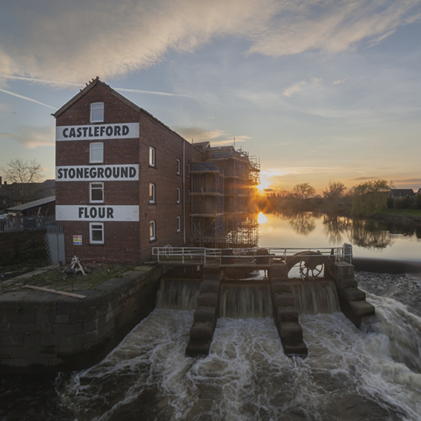
Start this walk at Queen’s Mill (the world’s largest stone-grinding flour mill) and head to the other side of the River Aire via Millennium Bridge. From here, walkers enjoy a bird’s-eye-view of Castleford Weir and the remains of a wrecked barge which has been there since 1977. The fish ladder here helps migrating eels and Atlantic salmon return up river and if you are lucky you might see a family of otters who use the steps too.
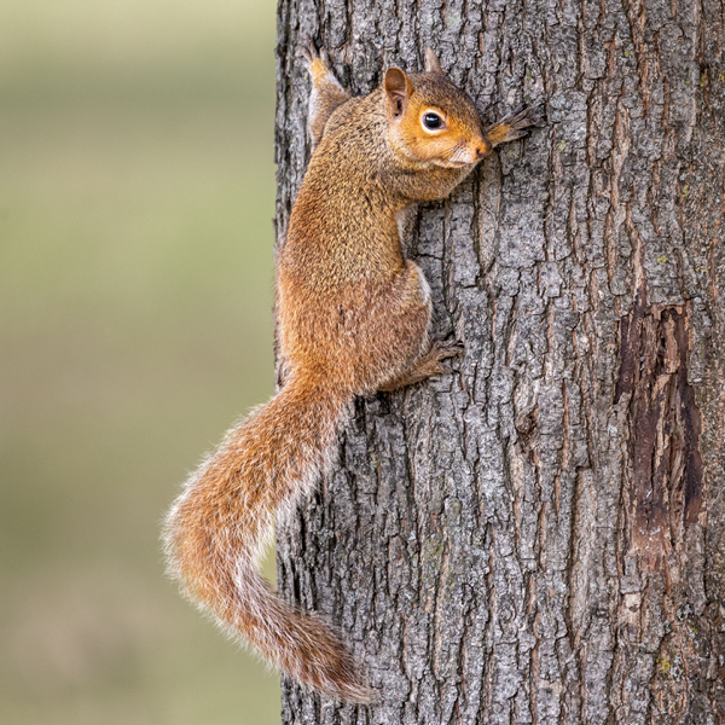
At the end of the footbridge turn left and follow the embankment, part of Castleford’s flood defences. Continue past Lock Lane Bird Garden and it’s a great place to spot heron, kingfishers, squirrels, and, if you’re lucky, otters.
At Castleford Junction follow the towpath to the road bridge. Turn left to cross the canal and turn left again to the towpath. Head straight to Castleford Junction Lock where there are amazing views as the Aire & Calder Navigation heads north to Leeds. If you’ve got more time to spare, why not detour to the village Allerton Bywater for a canal-side pub lunch?
Back at the roadbridge, follow the towpath past the boatyard and head through the gate to RSPB Fairburn Ings where around 280 bird species have been recorded. This former mining site has been converted to wetland, grassland and woods and is now an important breeding site for birds such as curlews.
Your end point for this walk is Bulholme Lock which leads to the River Aire, and if you time it right you might spot one of the huge barges navigating its way through the impressive lock before heading back along the river embankment to the start of your walk.


