Walk This Way: Lambley Viaduct, Featherstone Castle and the South Tyne trail

We continue our walk series by travelling through history (and over a very tall viaduct) on the South Tyne trail
Parking: The South Tyne Trail Car Park (free), just below the Wallace Arms.
Starting Point: South Tyne Trail Car Park, Featherstone
Finish: South Tyne Trail Car Park
Distance: Approx 5.5 miles
Time: 3 hours
Difficulty: Mostly easy. There is a short steep stepped section to descend from Lambley Viaduct with some rough and uneven sections through the woods and a final fairly steep ascent from Featherstone Bridge back to the car park.
Footwear: The route is mostly excellent walking with gravelled sections and easily followed trails. Some sections through the woods can be muddy in wet conditions but robust training shoes or light walking boots should certainly be adequate for this route.
OS Map: Outdoor Leisure 43
OS map grid ref: 682607
Other: There are stiles and gates along this route. It passes through farmland containing livestock so for dog walkers a lead would be required for these sections. Care should be taken as the route crosses several roads on blind and semi-blind corners. Finally, vertigo sufferers may need to note that the viaduct section passes over the South Tyne at 32m/105ft above the River.
This walk is full of interest, taking in as it does many notable landmarks, including the mighty Lambley Viaduct, POW camp 18, and Featherstone Castle, originally built as a manor house in the 11th century and home to an infamous ghost story from the 17th century.


The Route
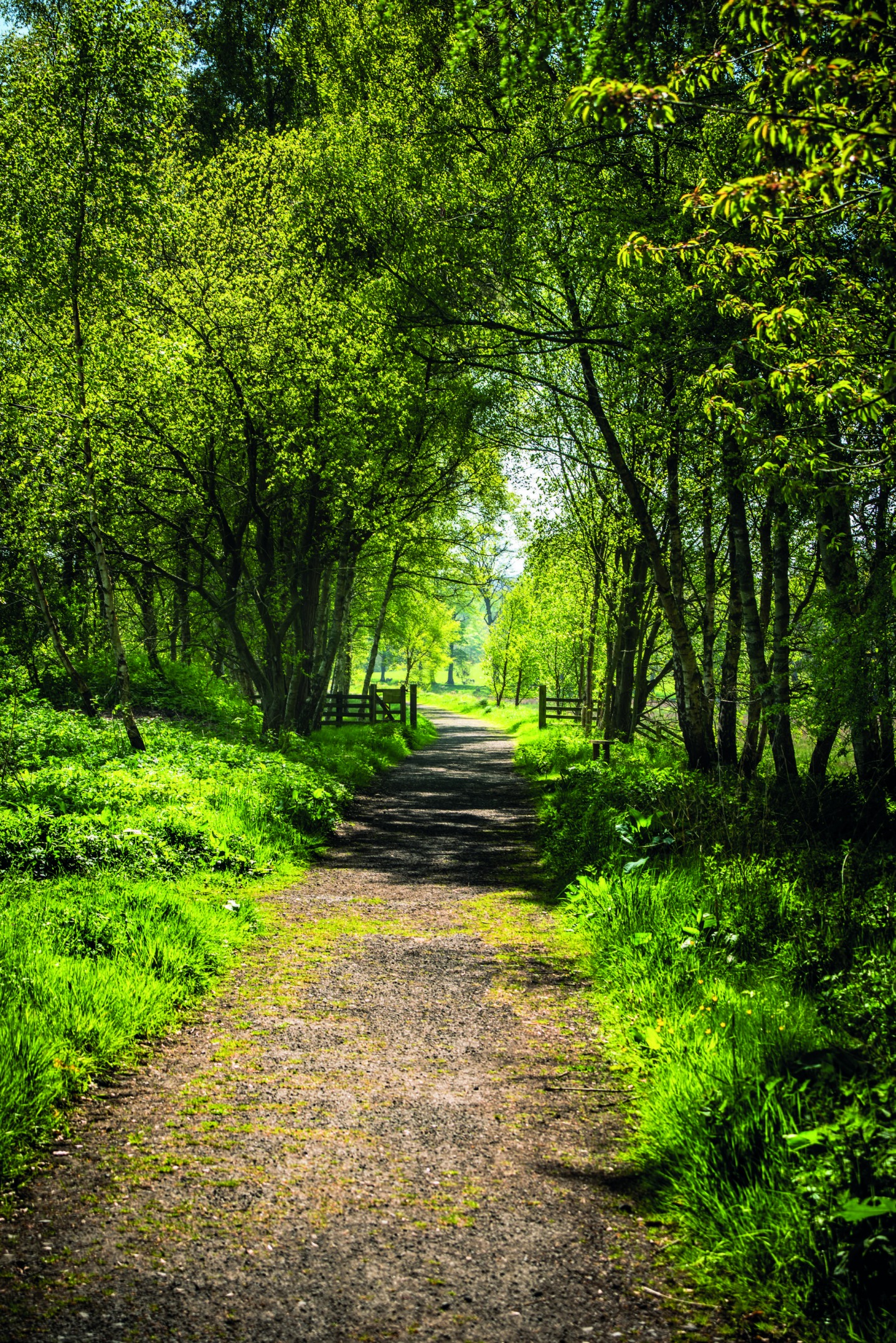
Setting off from the South Tyne Trail car park at Featherstone we join the South Tyne trail itself, following the clearly marked sign to Lambley Viaduct (1). This path follows the former route of the Haltwhistle to Alston branch line, which was finally closed in 1976 after 124 years transporting coal and lead from the surrounding mines. Shortly we reach another car park (home to a rather fine totem pole) and carefully cross the Coanwood-Lambley road and re-join the waymarked path continuing past the remains of Coan wood station platform. Lovely views across the valley towards Lambley and Featherstone begin to appear to our right as we approach the viaduct.
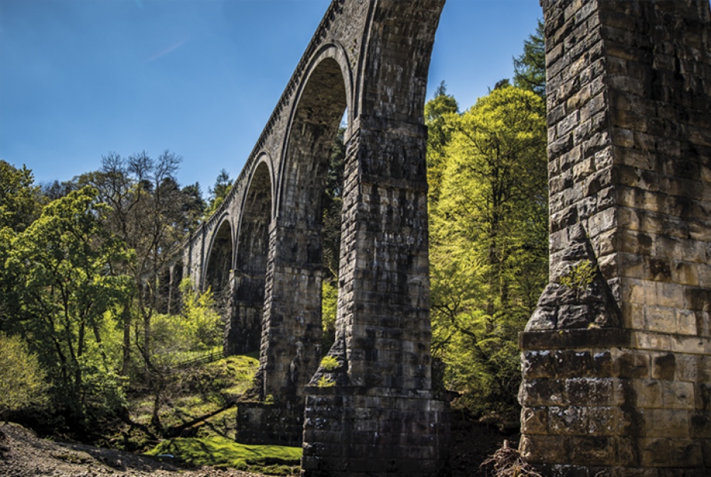
Cross the viaduct, pausing to look down upon the river passing some 32m below (it seems higher). Looking north way below us we can see the footbridge that will take us back across the river. At the end of the viaduct, exit right and take the steep zig-zagging steps down to the river bank. Head north along the wooden pathway for a short distance, keeping the river on our right, until we reach the footbridge where we cross the South Tyne again to the east bank. The footbridge provides a great vantage point from which to admire the full grandeur of the viaduct we have just crossed with its nine colossal 17m arches and enormous 500kg foundation stones. (2)
Turn left after the footbridge and follow the waymarked path, pass through the gate and divert slightly left to walk along the lightly wooded river bank. As we pass the wooden hut on our right we cross a small stile and continue along the riverside until we gently climb to a gateway and – again with great care (this is a blind corner) – cross the Lambley-Coanwood road. Passing through the gate on the other side of the road we continue down the track and once more follow the path along the riverside through parkland-style open farmland with beautiful mature broad-leaved trees regularly dotted along the route. Passing through another gate, we begin to approach a series of red brick buildings on our right. These and the clear ground workings still visible are the remains of POW camp 18 (3). From 1945–1948 it spread a mile along the river bank and housed more than 4,000 German officers.
As we pass the POW camp there is evidence of the powerful river erosion of the banks and care needs to be taken to walk clear of the undercut edges. We soon pass in front of Featherstone Castle (4), the oldest parts of which date back to the 14th century. It has been much extended since the 19th century and is now privately owned, and has operated both as a wedding venue and as an activity centre for young people.
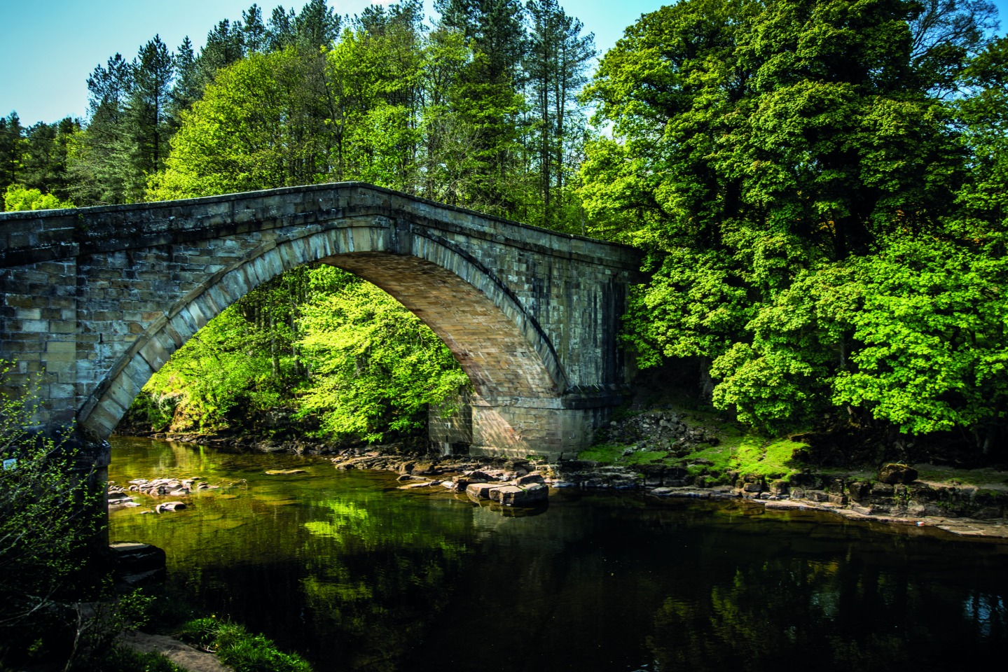
As the path narrows and we near the road we turn left over the footbridge and then immediately right, following the path through the woodland. Note that once you have turned right at the end of the bridge, follow the lower path, not the steps that head up the steep bank. Continue along the woodland path over tributary streams and alongside the river, gradually turning left and gently climbing until we emerge onto the lane. Turn right and cross over Featherstone Bridge (5). As you descend from the bridge there is a stile and waymarked route directly opposite, signposted to Featherstone Rowfoot 1m. Take this path leading south east past the wall. This was known as the Postman’s Path as it was the route followed by the postmen taking the post they had gathered from Featherstone Castle and the surrounds to Featherstone Park Station and onwards to Haltwhistle. It rises through the woodland, then through a series of stiles before turning sharp right and emerging at a roadside stile almost directly opposite the car park that was our starting point. Just up the road is the Wallace Arms – the perfect place for a restorative pint.


